
The Gasquet-Orleans (G-O Road) is one of the most infamous paved highways in California history. Originally built for logging trucks in the Six Rivers National Forest, it has gone through a whole series of court actions and eventually wilderness protection before Congress all the way into the 1990’s
Most of the local people who lived there or still live there and had anything to do with it consider the GO Road one giant mistake and it will forever lie there slowly deteriorating because it’s not maintained, almost nobody goes up there except to hike or have native religious ceremonies
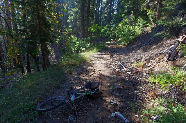
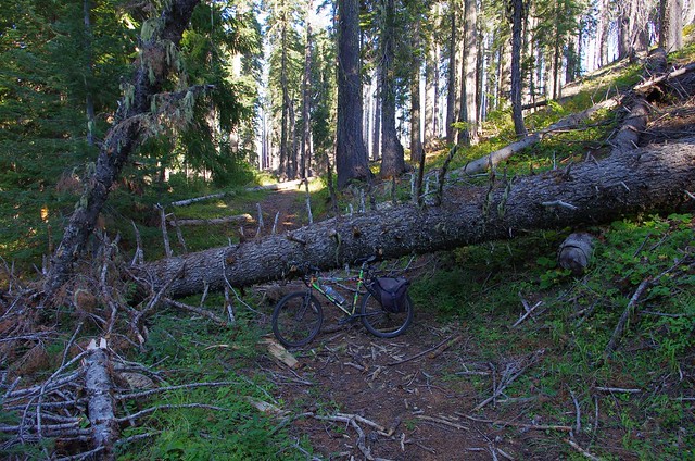
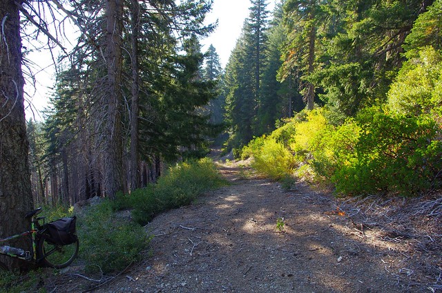
A map of the GO road is here and it starts on the South Fork of the Smith River, the last major undammed river in California. Very few people have really gone into the unpaved section of it which is no longer a road, but a trail. At the end of each part of the paved section they have a pile of rocks to prevent any motorized vehicles and in some places you have to carry a bicycle over tree stumps
One of the few blogs to have photos from ‘up there’ is this one – Walking the Lost Highway, and for the first time, this blog publishes one the biggest collection of photos from the GO Road from September 2013
The GO Road is basically the ONLY road within many miles and there’s not even that many trails, so if you go up there, you are likely to not see any other people the entire day, until you make it either to Orleans or Gasquet (Smith River). It is true wilderness, stunning views, quiet solitude and well worth the effort
I can’t say that I’m the first person to bike the GO Road, because I saw previous tire tracks on the trail, so somebody else did it before me, but I am one of the few to bike into the interior, and this is possible to do it all in one day
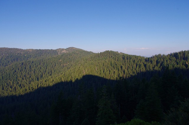
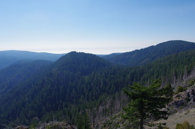
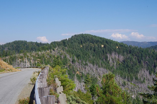
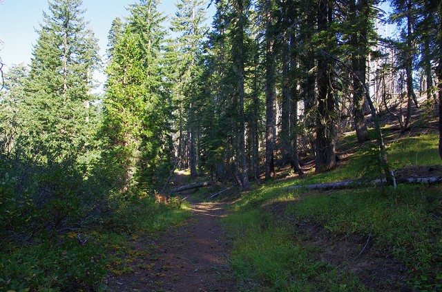
Very quickly after leaving the Smith River you go uphill for a few miles and already get some great views of the coastal range bordering on Redwood National and State Parks


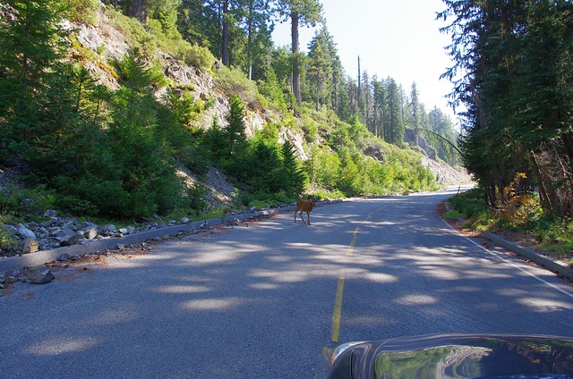
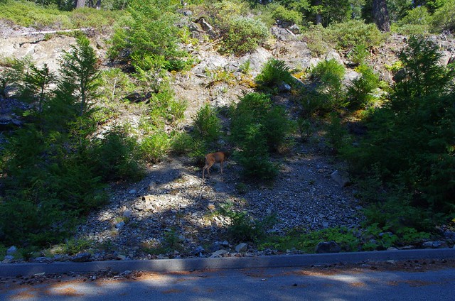
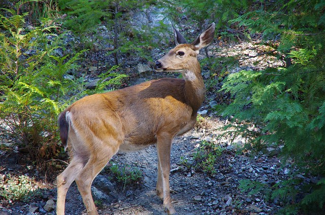
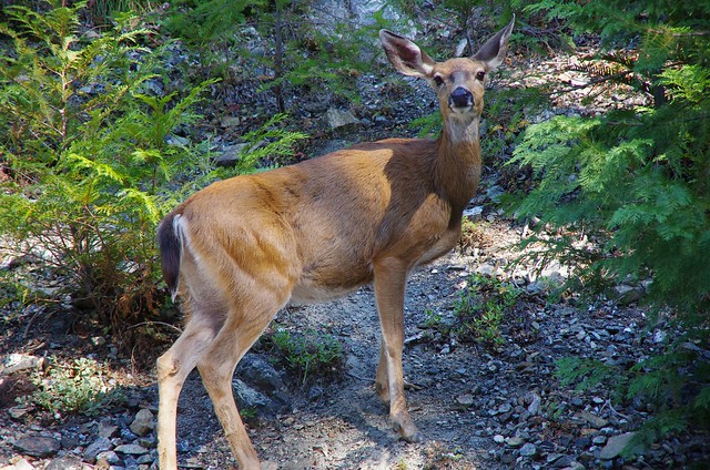
And only a few minutes after that some wildlife
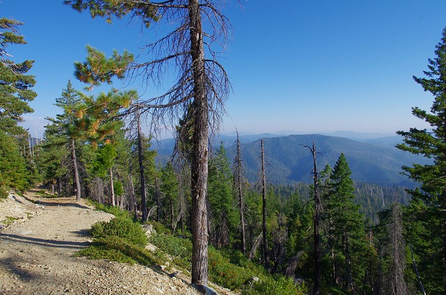
You top out about 5000 feet and it continues around that level for about 1/3 of the GO Road
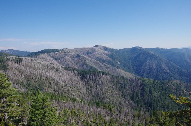
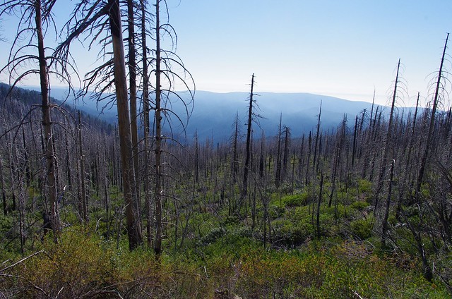
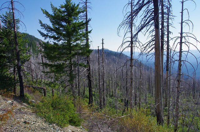
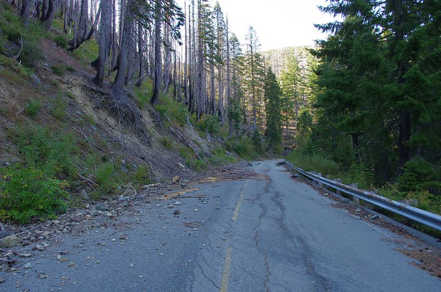
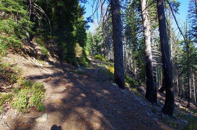
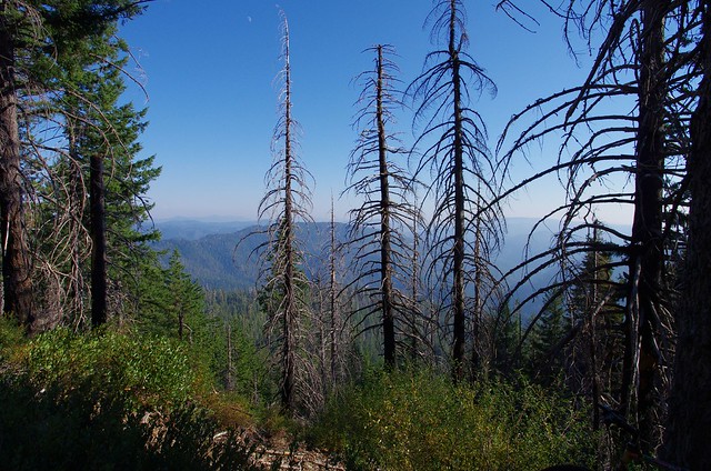
You can see remnants of past forest fires and there was more fires in this same area in 2015, a fairly regular occurrence in the area
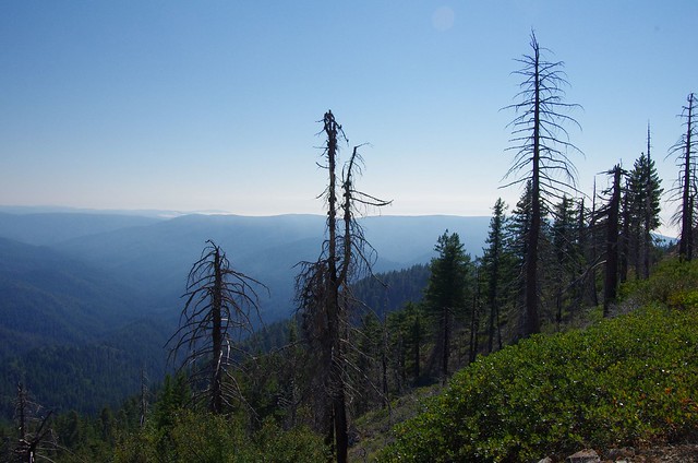
you can say this fire is maybe 3 years old because of the new underbrush growth
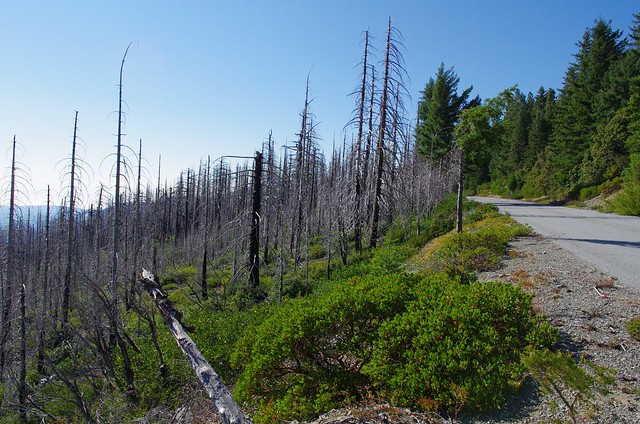
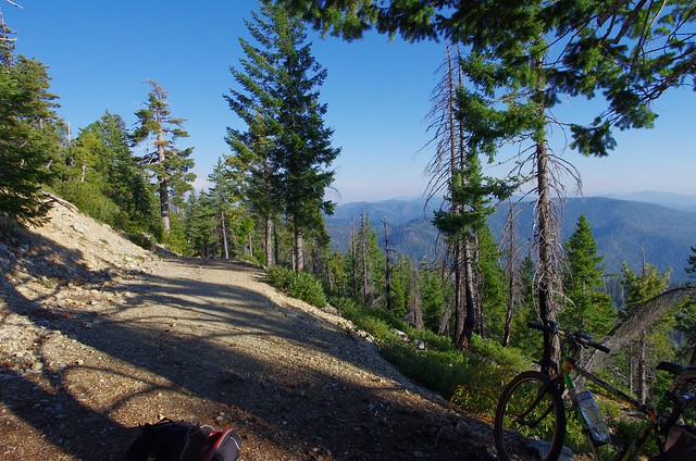
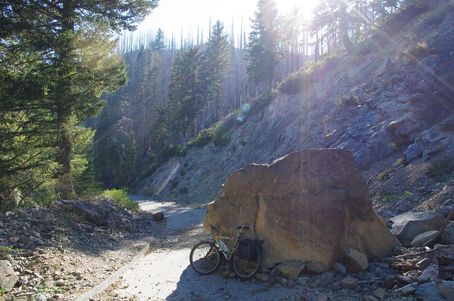
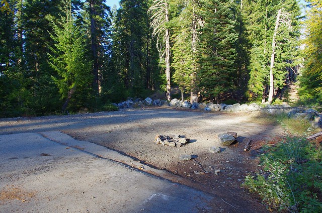
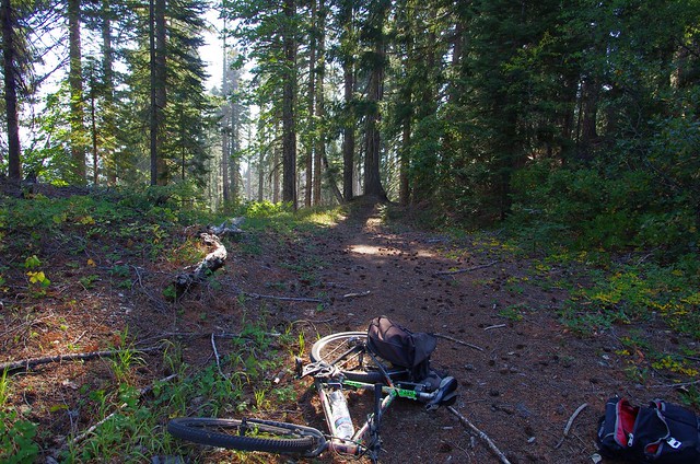
This is the first major roadblock beyond which most cars aren’t going to go. It’s about 1 mile from the end of the paved section, so you’re only choice is to bike or walk because this boulder is probably still there and will never be removed
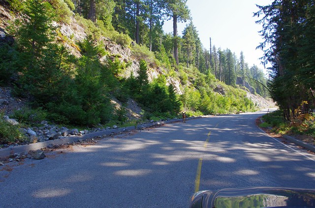
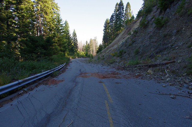
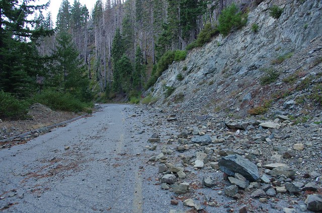
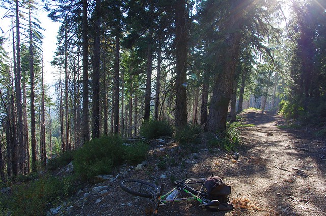
The paved section that hasn’t seen any cars in years
This might look like a parking lot, but it’s the end of the paved road. The trail continues on just past the rock pile
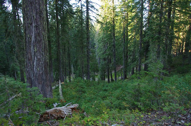
The unpaved section is all considered sacred land

You can tell in some places there was a bulldozer that came though many years ago
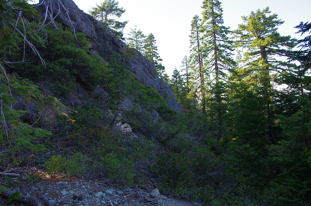
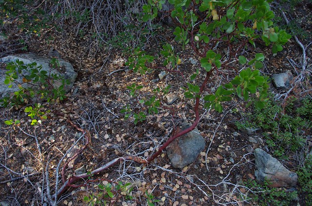
And there are serpentine rocks up here that hold native California Manzanitas, just like San Francisco

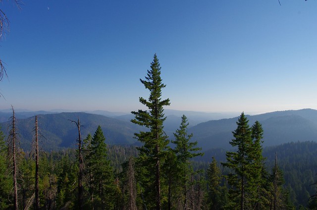
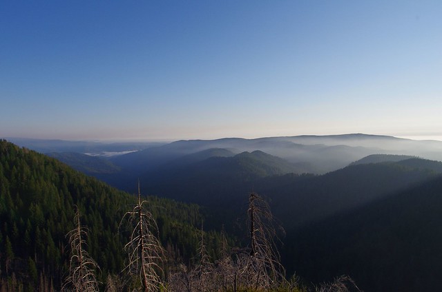
This is looking north into the Smith River watershed and Oregon is beyond
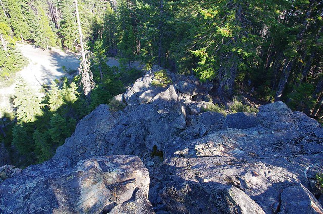
The trail is down below
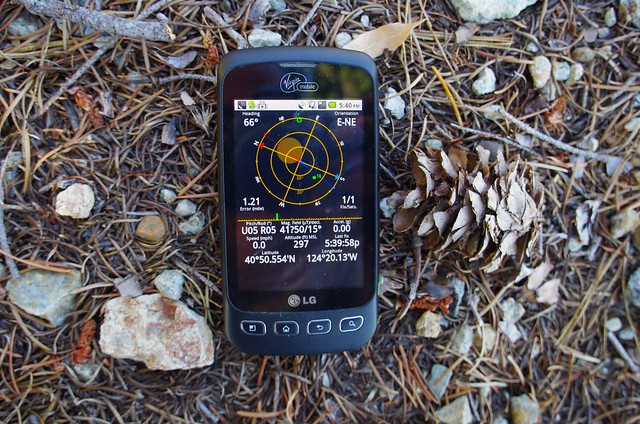
This is about the half way point between Gasquet and Orleans. I went a little further towards Orleans, but turned around eventually and came back the same way The GPS reading and elevation on the phone are all wrong. The actual GPS is 41.560439,-123.754547 or link on google maps
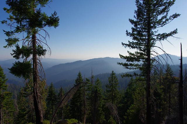
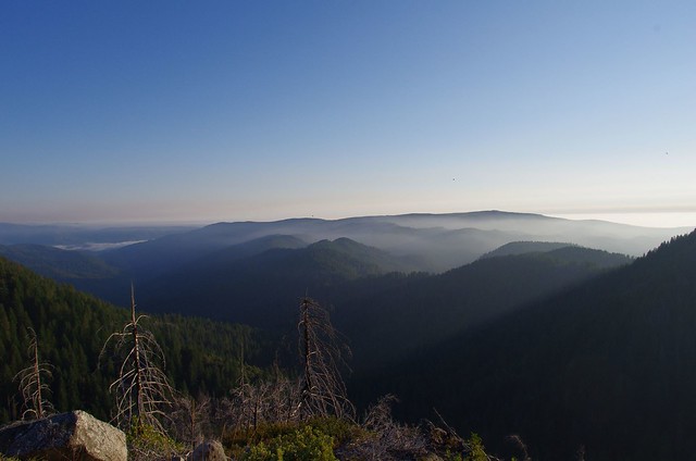
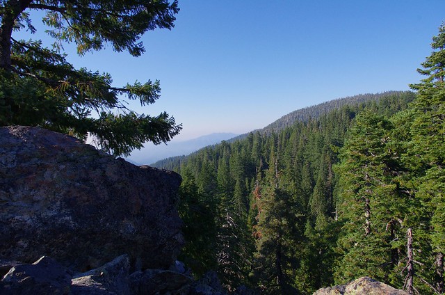
Somewhere near the halfway point the rail straddles the side of a mountain and it opens up to reveal these stunning views, looking south into the Klamath river basin. It’s really the high point on the GO Road unless you go to the sacred sites like Chimney Rock which are a little higher around 6000 feet
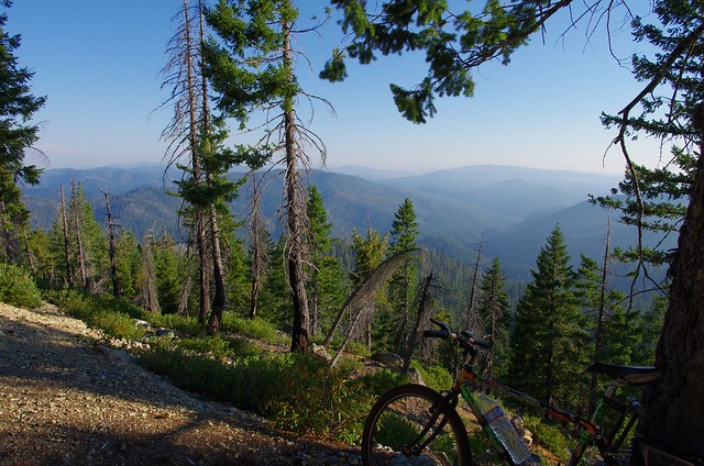
It’s these views that made it all worth it. You’re in the high country in the coastal range of far Northen California